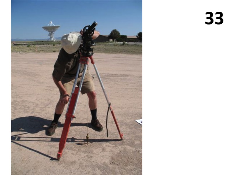
Woody Sullivan at the Bracewell Sundial
Description
Sullivan uses a 1940s era surveyor's transit to establish the locations of all markers and piers. The midday sun, used to determine true north, is at an uncomfortably high altitude.
Creator
Papers of Ronald N. Bracewell
Rights
Contact Archivist for rights information.
Type
Still Image
People
Photographer
Photo Credit
Contact Archivist for photo credit information.
Series
Additional Materials About Bracewell Series
Unit
Bracewell Sundial at the VLA Unit
Citation
Papers of Ronald N. Bracewell, “Woody Sullivan at the Bracewell Sundial,” NRAO/AUI Archives, accessed April 20, 2025, https://www.nrao.edu/archives/items/show/10691.

